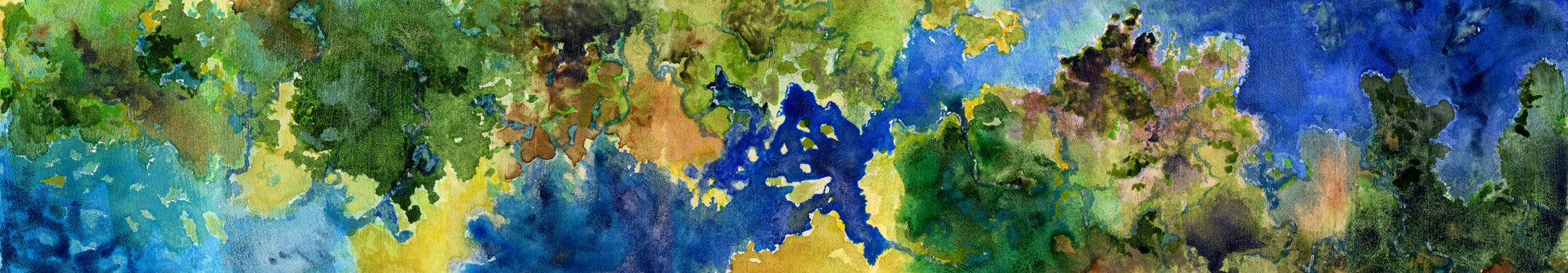
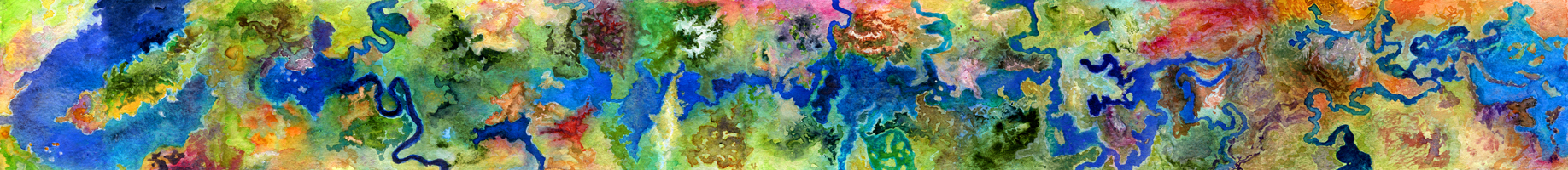
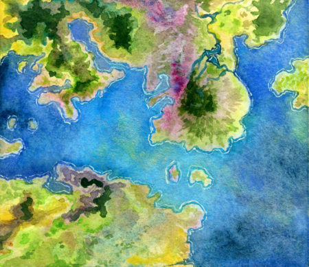
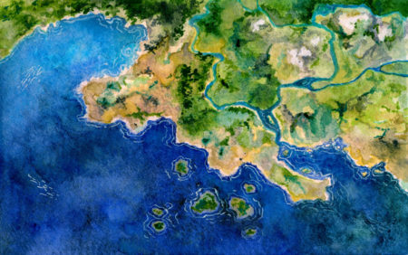
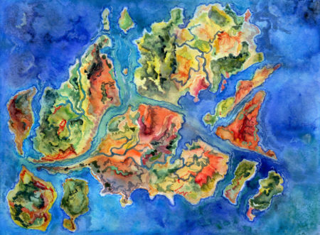
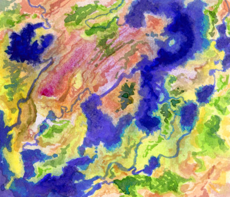
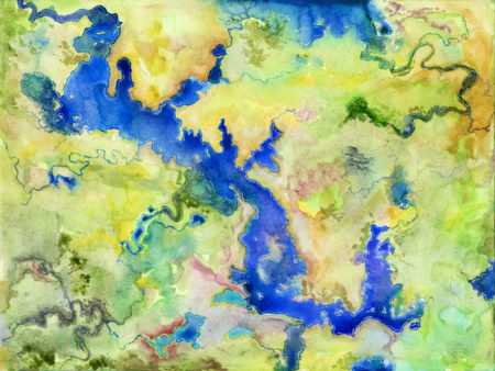
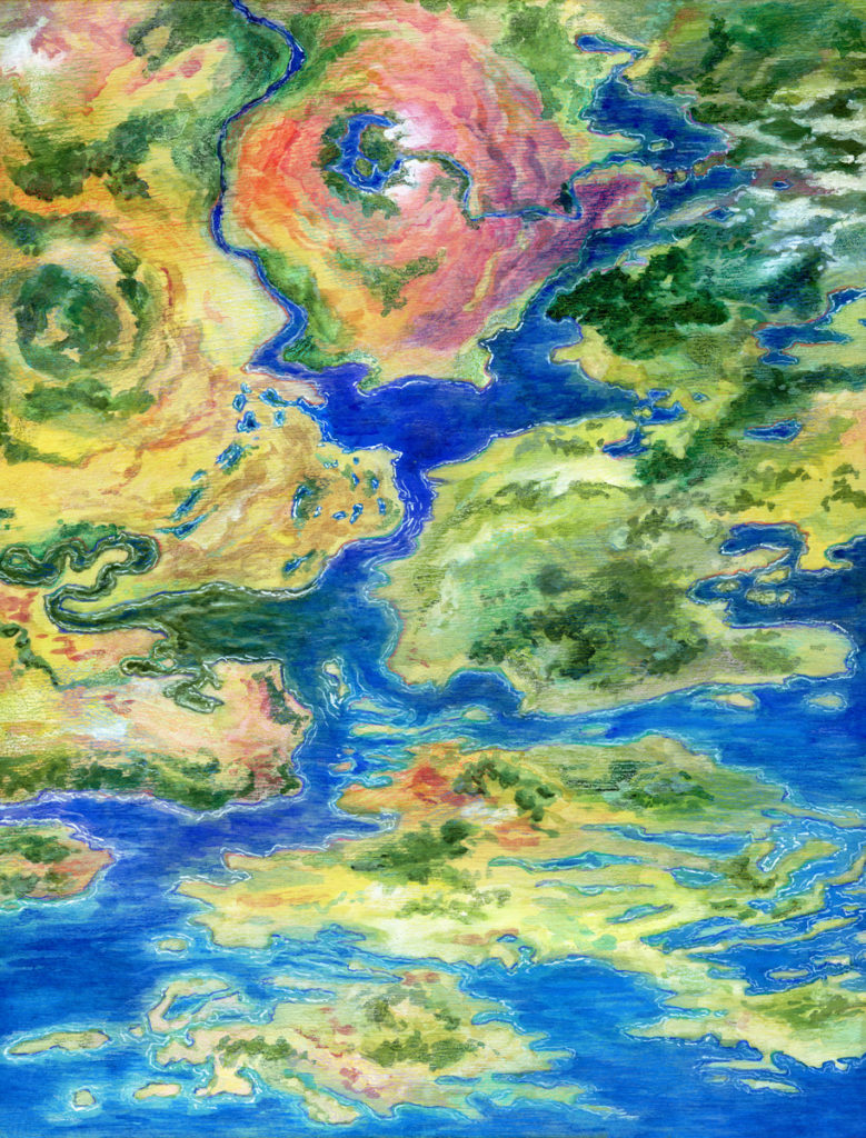
I’m a huge fan of the strangeness of satellite imagery of earth, and how it intersects with how we draw maps for navigational or other uses. I also love watching pigment flow around on a surface, and I’ve been thinking about how liquid dynamics of watercolour can mimic liquid dynamics of water tables, geologically.
Which is to say, I’ve been painting watercolour maps. Click in to see them in closer detail:

Leave a Reply