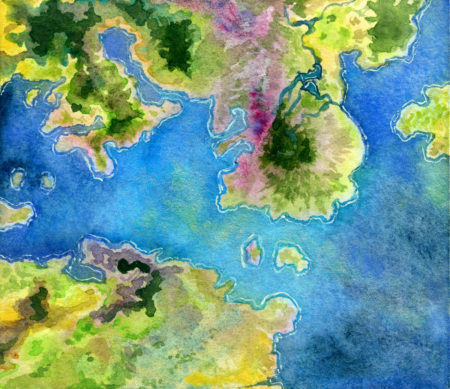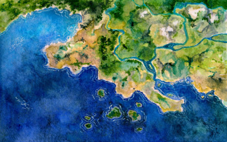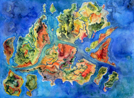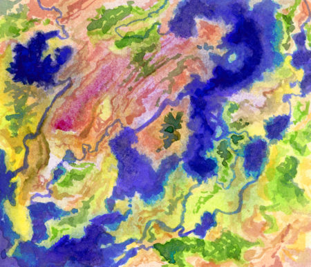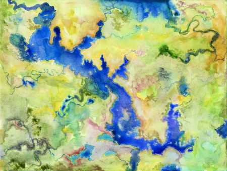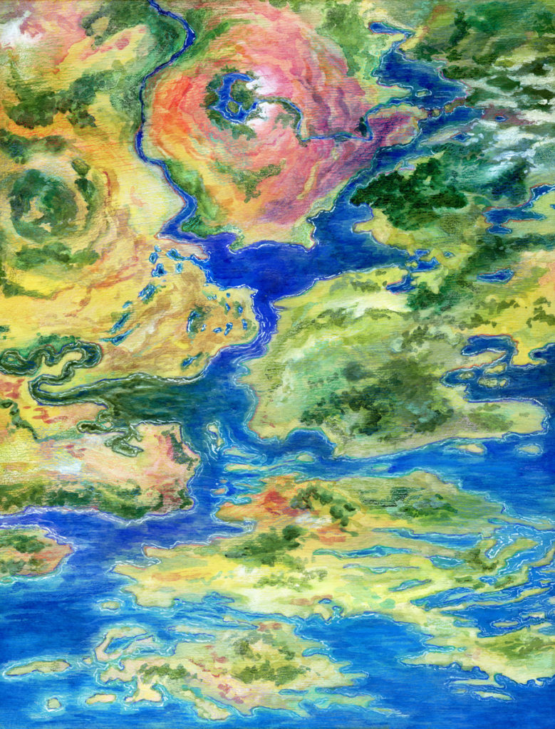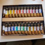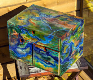
I’m a huge fan of the strangeness of satellite imagery of earth, and how it intersects with how we draw maps for navigational or other uses. I also love watching pigment flow around on a surface, and I’ve been thinking about how liquid dynamics of watercolour can mimic liquid dynamics of water tables, geologically.

Which is to say, I’ve been painting watercolour maps. Click in to see them in closer detail:

Leave a Reply

Your email address will not be published. Required fields are marked *

This site uses Akismet to reduce spam. Learn how your comment data is processed.

To respond on your own website, enter the URL of your response which should contain a link to this post’s permalink URL. Your response will then appear (possibly after moderation) on this page. Want to update or remove your response? Update or delete your post and re-enter your post’s URL again. (Find out more about Webmentions.)